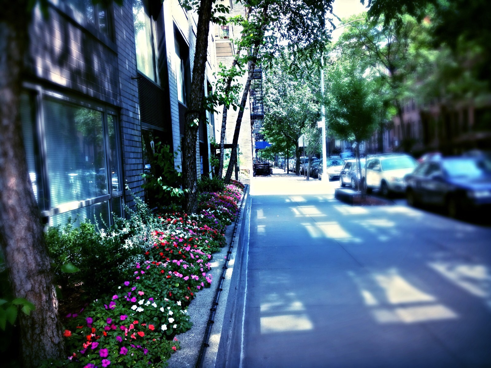
Flushing is a village in the north-central part of the New York City Borough of Queens, in the United States. While much of the village is residential, Downtown Flushing, centered on the northern end of Main Street, is a large commercial and retail area and is the fourth largest central businees district in New York City.
Flushing's diversity is reflected by the numerous ethnic groups that reside there, including people of Asian, Hispanic, Middle Eastern, European, and African American ancestry. It is part of the Fith Congressional District, which encompasses the entire northeastern shore of Queens County, and extends into neighboring Nassau County. Flushing is served by five railroad stations on the Long Island Rail Road Port Washington Branch, as well as the New York City Subway's IRT Flushing Line , which has its terminus at Main Street. The intersection of Main Street and Roosevelt Avenue is the third busiest intersection in New York City, behind Timesand Herald Squares.

Flushing is part of Queens Community Board 7 and is bounded by Flushing Meadows-Corna Park to the west, Utopia Parkway to the east, the Long Island Expressway to the south, and Willets Point Boulevard to the north.
ZIP codes beginning with 113 are administered from a sectional center at Flushing Post Office. The 113-prefixed area extends west into Jackson Heights, southwest into Ridgewwood, south into Forest Hills, and east intoLittle Neck.


